UPDATED: HOW WILL HOUSTON HANDLE THE DELUGE OF HURRICANE HARVEY?
This story has been updated as of 8:47 pm ET.
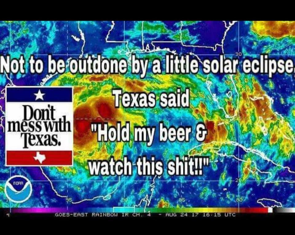
Hurricanes are classified according to their wind speed. But a truer measure of their destructive potential would also include their moisture level. Just before making landfall on Friday night, Hurricane Harvey jumped up to become a category 4 hurricane, with sustained winds of 130 miles per hour. More dangerously, though, it’s also packing enough moisture to drop 20 inches or more of rain across Texas’ gulf coast.
As early as Wednesday, Governor Greg Abbot declared a state of emergency so the gulf region would be eligible for federal disaster relief. They’ll likely need it. The current forecast predicts that Harvey, which was downgraded to a tropical storm on Saturday, will stall out over east Texas for days. Yet, while seven counties had ordered evacuations by Friday, Houston—home to 2.3 million people—didn't. Its mayor told residents to weather it out, rather than clog highways leading out of the city.
And by Sunday evening, Harris County—Houston’s encircling jurisdiction—became one of 18 counties across Texas that had been declared a federal disaster area. (Those counties contain 7 million people, nearly a quarter of the state's population.) In the city of Houston, nine shelters have opened up to take in people fleeing their homes.
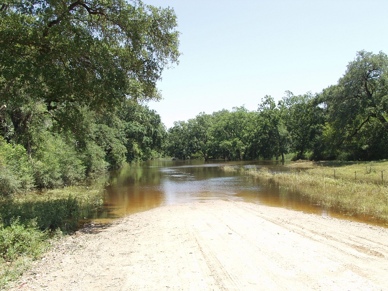
This isn’t Houston's first rodeo: The city designed its layout for drainage, with copious reservoirs and dams, to store and shed the downpour without inundating residents. But the region’s front line of defense are its wetlands. These soak up moisture that would otherwise flood Houston. And this weekend’s deluge threatens to overrun both the built and natural systems.
“Just to give you a lowdown on the area, it’s wet, it’s flat, and it’s gonna be really wet in the next couple days,” says John Jacob, the director of the Texas Coastal Watershed Program at Texas A&M University. Any rain that falls in Harris County can run to sea through any of the county’s 22 watersheds. That might sound like a lot of drainage potential, but the highest point in the county is only 125 feet above sea level, which means the water can pool up pretty quickly.
To mitigate the buildup, Houston turns to two main engineered systems: the Addicks and Barker dams and reservoirs. “These were designed to protect the downtown area,” says Randy Cephus, a spokesperson for the Army Corps of Engineers Galveston Division. “They are dry reservoirs, meaning the dams are wide open and water is flowing freely until the heavier rains arrive.” The flood-prone city has one of the most sophisticated networks of gauges in the country. Once those reach critical levels, the dam’s safety officer will order the floodgates closed, and the reservoirs will fill up.
Combined, the Addicks and Barker reservoirs can hold 410,000 acre-feet of water. Twenty inches of rain across Harris County adds up to about 1,894,980 acre-feet. Don’t let that number scare you: Harris County has all those other watersheds, plus attendant flood control schema (which I’ll get into a little later). But neither should you be relieved. Addicks and Barker are on the northwestern end of Houston, which means a lot of the water they take up will come from outside Harris County. Acts of God don’t abide by earthly borders.
Addicks and Barker are also in the middle of a $75 million safety upgrade. The system was built in the 1930s, and the Army Corps of Engineers recently finished a coffer dam that will function in place of the regular flow. And the construction crews still on the ground might actually help things out. “We were able to modify the contract on the heavy equipment and resources like the quarry, so they can help us out, moving rocks and sandbags in a more expeditious manner,” says Cephus.
The Houston suburbs have their own protective measures. One of the biggest projects is Brays Bayou, the watershed of which encompasses 700,000 people. Parts of this watershed flooded in 2015 and 2016. The Brays Bayou Project—a joint endeavor of the Army Corps and Harris County Flood Control District—is several years behind schedule on a $480 million upgrade. Project manager Gary Zika says the upgrade is almost complete. For this flood, his workers will focus on keeping drains clear of rubbish and keeping the public aware of the flood levels.
Houston, and much of east Texas, was built over a wet coastal plain. “Historically, when we consider the undisturbed landscape, 30 percent of it was covered with wetlands,” says Jacob. “That gave us about ⅓ an acre-foot of water retention in every acre of land.” That’s pretty significant, considering Harris County currently requires every paved acre of land to have ½ acre foot of water retention. Paving them over just means humans have to spend more money creating building artificial means to store and route storm runoff to the sea. All that free water storage has been lost to agriculture and urban sprawl.
The wetlands are important, but they aren’t magic. “If you get 16, 17, 18 inches, the prairie is going to flood,” says Jacob. But he points out that the built retention is only meant to hold 100-year flood event type rainfall. “Well, 15 to 20 inches, like what’s going to fall this weekend, is more like a 20-year storm,” says Jacob. The measure of a storm’s destructive potential is a sliding scale.
(Continued)
https://www.wired.com/story/how-will-ho ... ne-harvey/
This story has been updated as of 8:47 pm ET.
Hurricanes are classified according to their wind speed. But a truer measure of their destructive potential would also include their moisture level. Just before making landfall on Friday night, Hurricane Harvey jumped up to become a category 4 hurricane, with sustained winds of 130 miles per hour. More dangerously, though, it’s also packing enough moisture to drop 20 inches or more of rain across Texas’ gulf coast.
As early as Wednesday, Governor Greg Abbot declared a state of emergency so the gulf region would be eligible for federal disaster relief. They’ll likely need it. The current forecast predicts that Harvey, which was downgraded to a tropical storm on Saturday, will stall out over east Texas for days. Yet, while seven counties had ordered evacuations by Friday, Houston—home to 2.3 million people—didn't. Its mayor told residents to weather it out, rather than clog highways leading out of the city.
And by Sunday evening, Harris County—Houston’s encircling jurisdiction—became one of 18 counties across Texas that had been declared a federal disaster area. (Those counties contain 7 million people, nearly a quarter of the state's population.) In the city of Houston, nine shelters have opened up to take in people fleeing their homes.
This isn’t Houston's first rodeo: The city designed its layout for drainage, with copious reservoirs and dams, to store and shed the downpour without inundating residents. But the region’s front line of defense are its wetlands. These soak up moisture that would otherwise flood Houston. And this weekend’s deluge threatens to overrun both the built and natural systems.
“Just to give you a lowdown on the area, it’s wet, it’s flat, and it’s gonna be really wet in the next couple days,” says John Jacob, the director of the Texas Coastal Watershed Program at Texas A&M University. Any rain that falls in Harris County can run to sea through any of the county’s 22 watersheds. That might sound like a lot of drainage potential, but the highest point in the county is only 125 feet above sea level, which means the water can pool up pretty quickly.
To mitigate the buildup, Houston turns to two main engineered systems: the Addicks and Barker dams and reservoirs. “These were designed to protect the downtown area,” says Randy Cephus, a spokesperson for the Army Corps of Engineers Galveston Division. “They are dry reservoirs, meaning the dams are wide open and water is flowing freely until the heavier rains arrive.” The flood-prone city has one of the most sophisticated networks of gauges in the country. Once those reach critical levels, the dam’s safety officer will order the floodgates closed, and the reservoirs will fill up.
Combined, the Addicks and Barker reservoirs can hold 410,000 acre-feet of water. Twenty inches of rain across Harris County adds up to about 1,894,980 acre-feet. Don’t let that number scare you: Harris County has all those other watersheds, plus attendant flood control schema (which I’ll get into a little later). But neither should you be relieved. Addicks and Barker are on the northwestern end of Houston, which means a lot of the water they take up will come from outside Harris County. Acts of God don’t abide by earthly borders.
Addicks and Barker are also in the middle of a $75 million safety upgrade. The system was built in the 1930s, and the Army Corps of Engineers recently finished a coffer dam that will function in place of the regular flow. And the construction crews still on the ground might actually help things out. “We were able to modify the contract on the heavy equipment and resources like the quarry, so they can help us out, moving rocks and sandbags in a more expeditious manner,” says Cephus.
The Houston suburbs have their own protective measures. One of the biggest projects is Brays Bayou, the watershed of which encompasses 700,000 people. Parts of this watershed flooded in 2015 and 2016. The Brays Bayou Project—a joint endeavor of the Army Corps and Harris County Flood Control District—is several years behind schedule on a $480 million upgrade. Project manager Gary Zika says the upgrade is almost complete. For this flood, his workers will focus on keeping drains clear of rubbish and keeping the public aware of the flood levels.
Houston, and much of east Texas, was built over a wet coastal plain. “Historically, when we consider the undisturbed landscape, 30 percent of it was covered with wetlands,” says Jacob. “That gave us about ⅓ an acre-foot of water retention in every acre of land.” That’s pretty significant, considering Harris County currently requires every paved acre of land to have ½ acre foot of water retention. Paving them over just means humans have to spend more money creating building artificial means to store and route storm runoff to the sea. All that free water storage has been lost to agriculture and urban sprawl.
The wetlands are important, but they aren’t magic. “If you get 16, 17, 18 inches, the prairie is going to flood,” says Jacob. But he points out that the built retention is only meant to hold 100-year flood event type rainfall. “Well, 15 to 20 inches, like what’s going to fall this weekend, is more like a 20-year storm,” says Jacob. The measure of a storm’s destructive potential is a sliding scale.
(Continued)
https://www.wired.com/story/how-will-ho ... ne-harvey/